

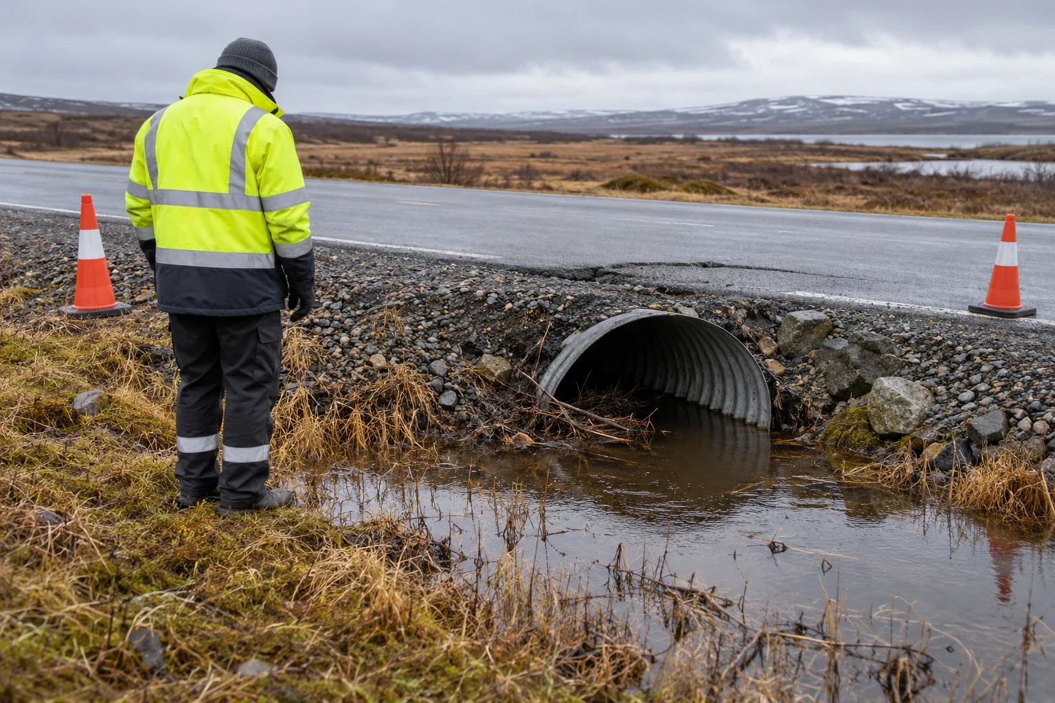
A cracked road needs more than a thaw map
Settlement, erosion, drainage, and slope movement are different infrastructure problems. Start with the service at risk and the evidence for its failure.
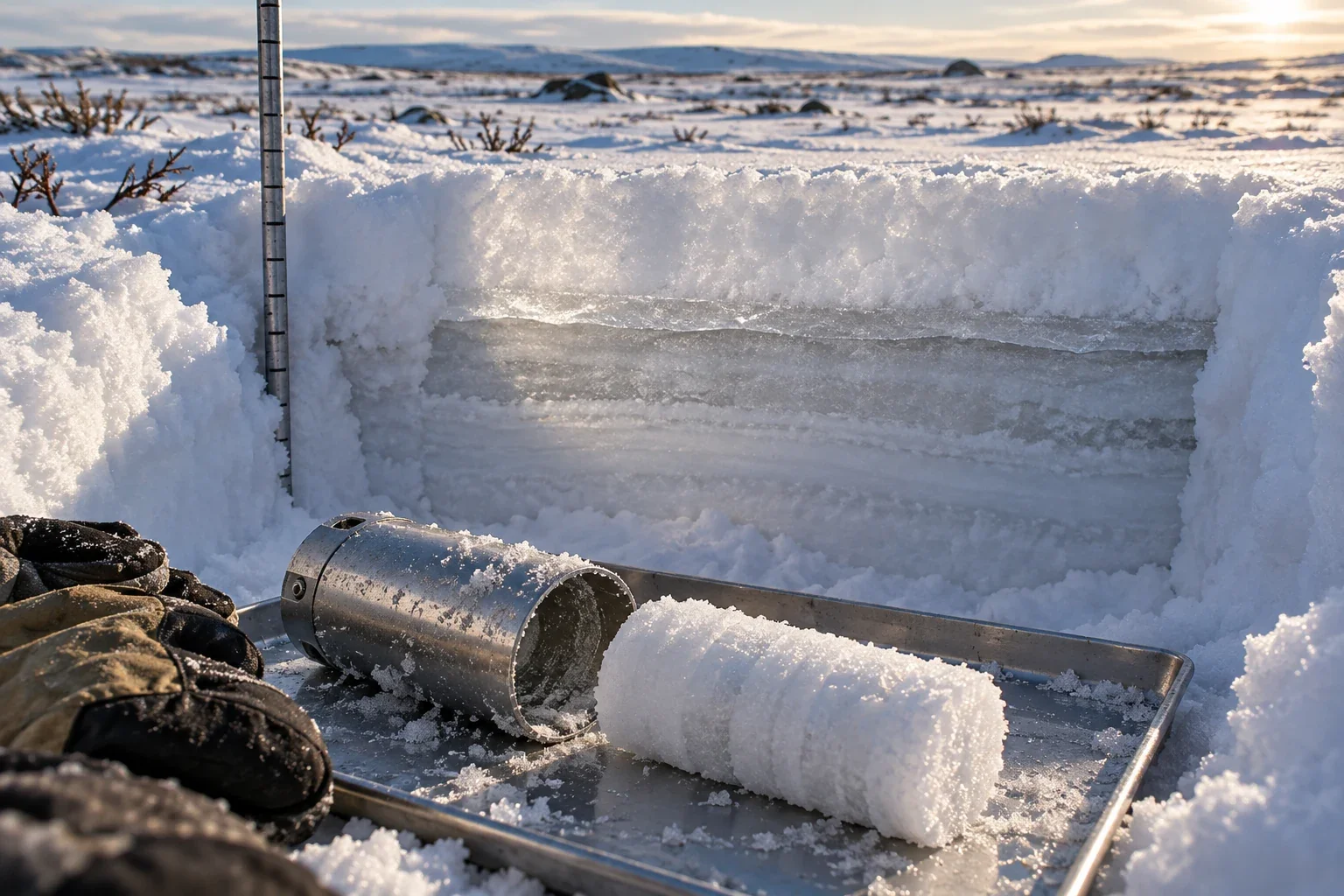
How much water is in that snow?
Equal snow depths can hold different amounts of water. Density, wind redistribution, and sampling purpose determine what a winter measurement means.
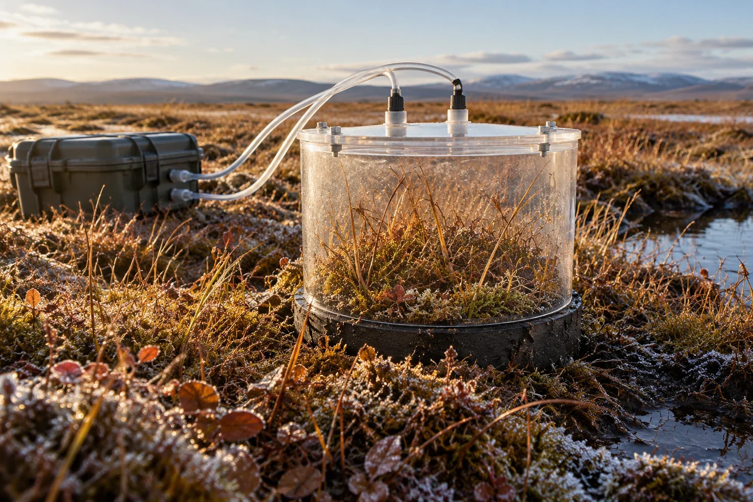
A carbon store is not an annual emission
How to read northern carbon stocks and fluxes without confusing stored material, summer uptake, winter respiration, and regional fire emissions.
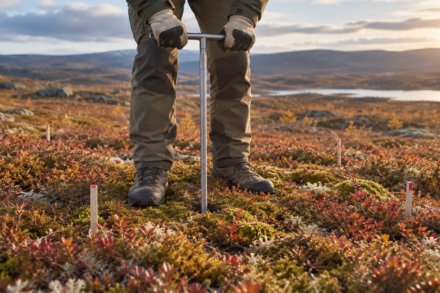
The active layer is not the permafrost
Seasonal thaw depth, ground temperature, and ground-ice content answer different questions. A guide to naming the layer before naming the change.
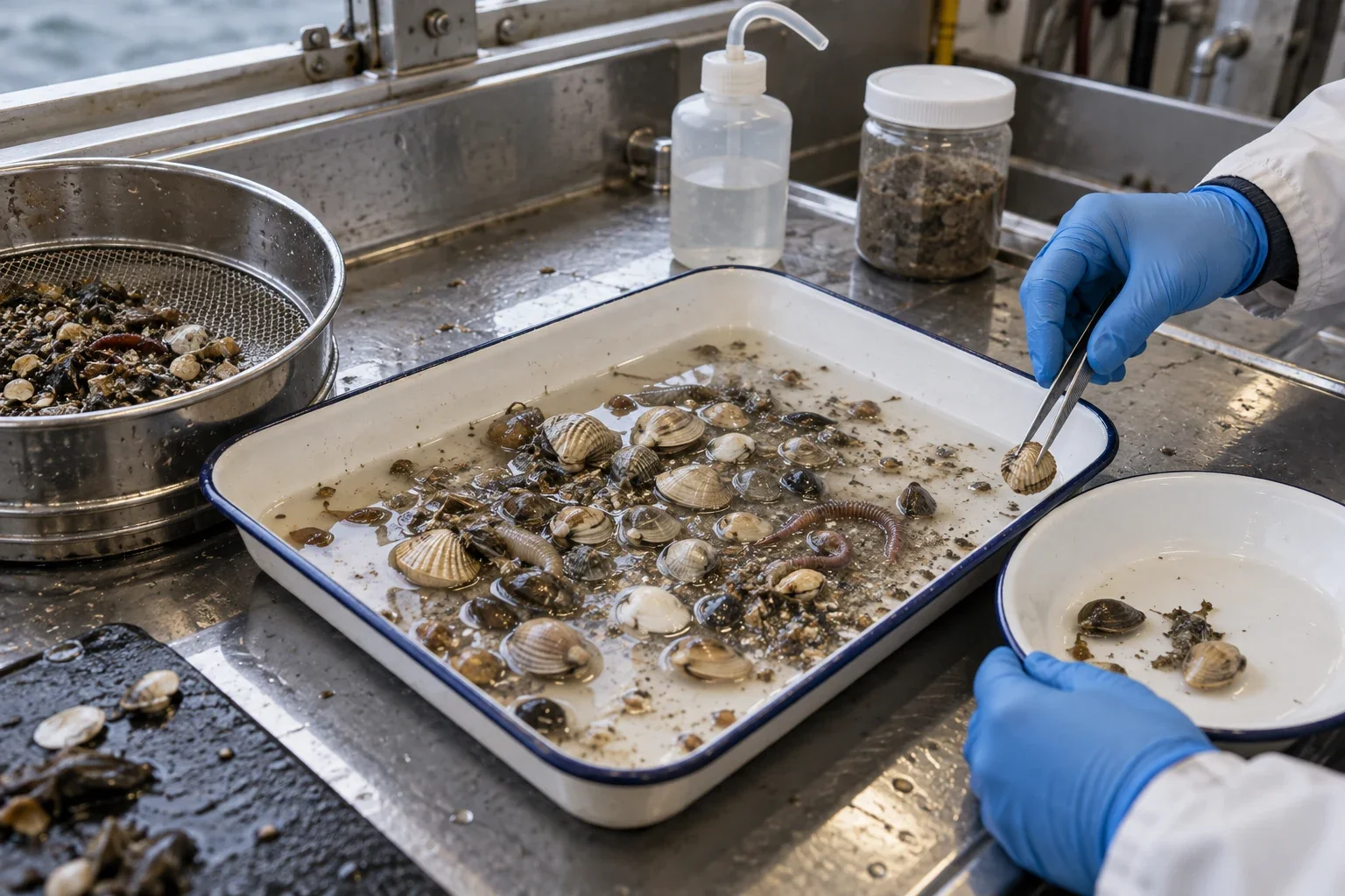
Testing a changing Arctic food web
A Bering and Chukchi Sea synthesis tests borealization against a different food-web mechanism. Mixed species responses, sampling gaps, and an exceptional first year sharpen the conclusion.
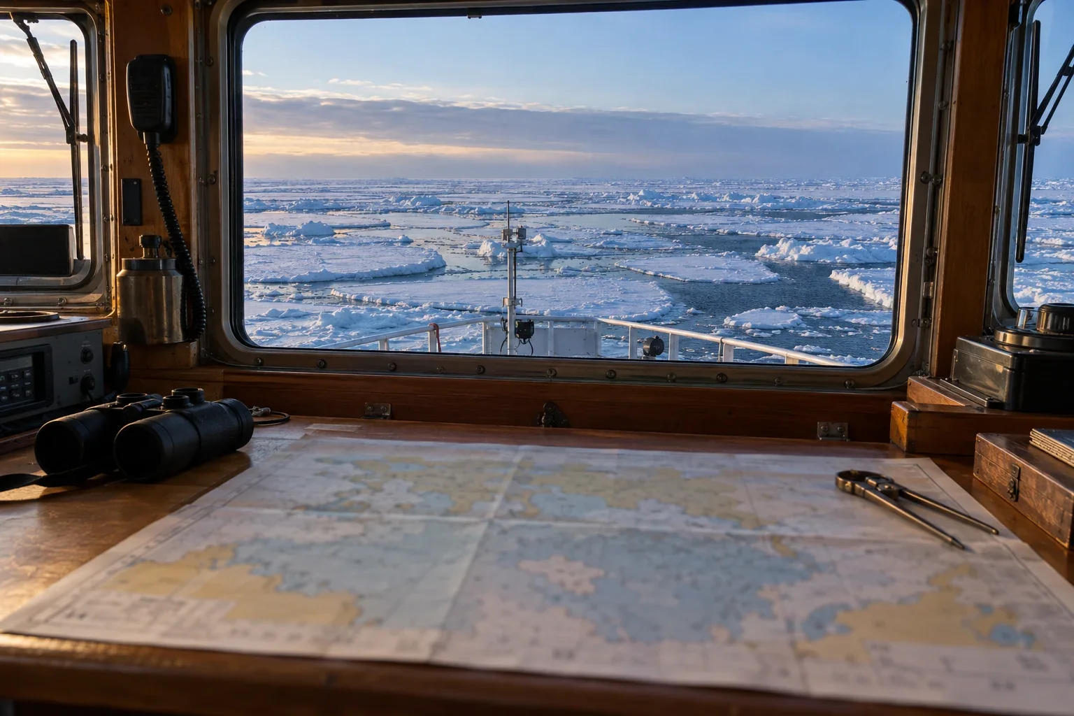
What an ice chart cannot promise
Valid times, egg codes, partial concentrations, and chart coverage matter. Learn why a regional ice analysis cannot guarantee route connectivity, local strength, or a safe journey.
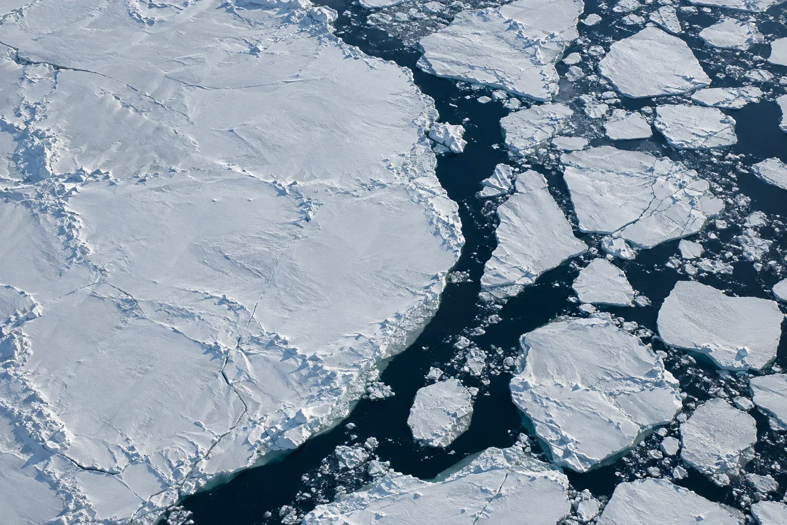
A sea-ice pixel is not a habitat map
Identical ice concentrations can conceal different floes, openings, and feeding opportunities. Habitat interpretation needs geometry, seabed context, compatible dates, and evidence of what animals actually use.
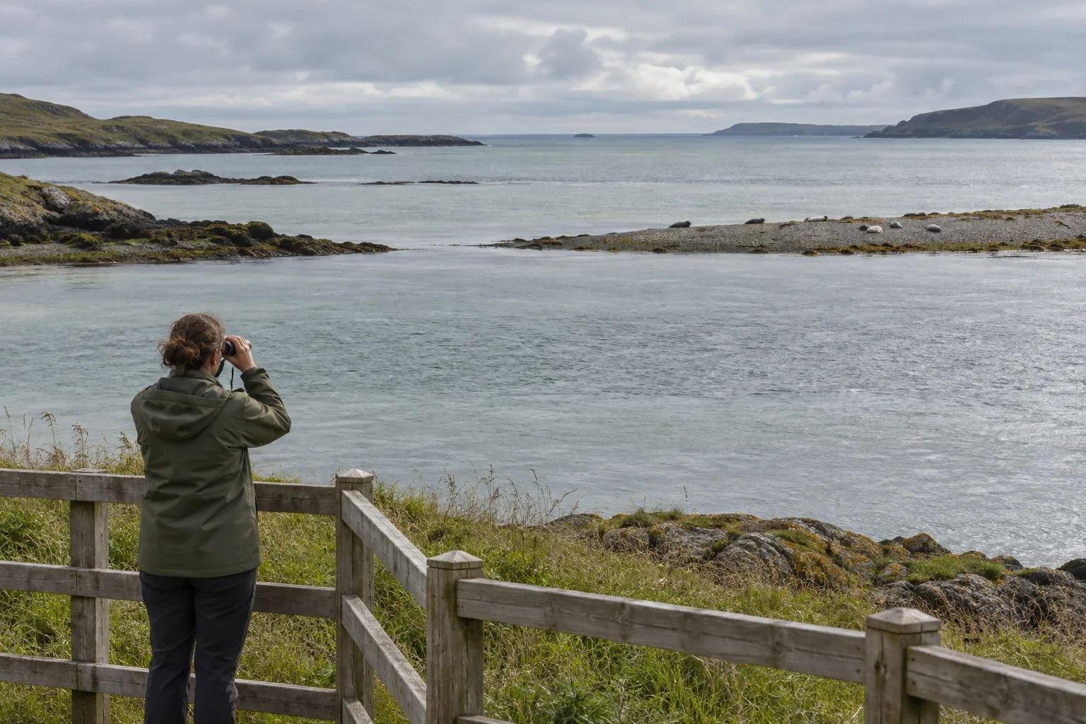
Distance is part of wildlife observation
A minimum distance is not a target. Compare two ways of taking the same photograph, and consider duration, crowding, local authority, sensitive locations, and research permissions.
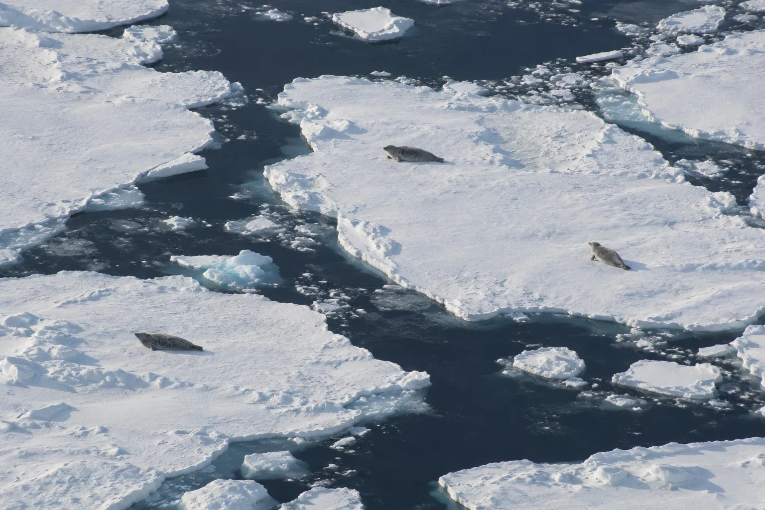
Counting the seals you cannot see
Aerial counts miss seals in water and snow lairs. Haul-out research shows how availability, visibility, survey conditions, and sampling determine what a population estimate can mean.
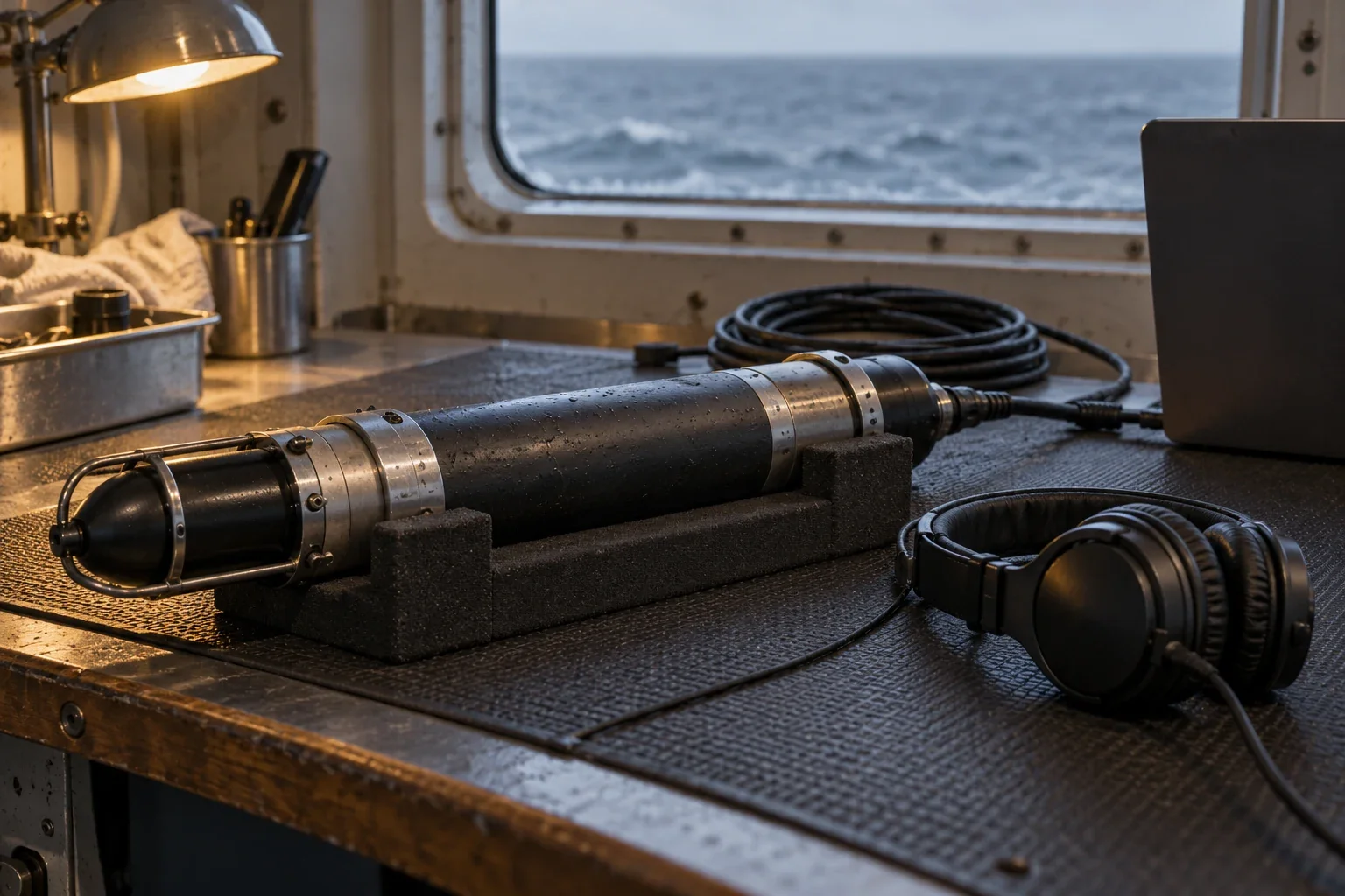
A quiet recording is not an empty sea
Recording schedules, changing noise, call rates, and detector thresholds shape acoustic non-detections. A worked comparison shows why silence is not a census of absence.
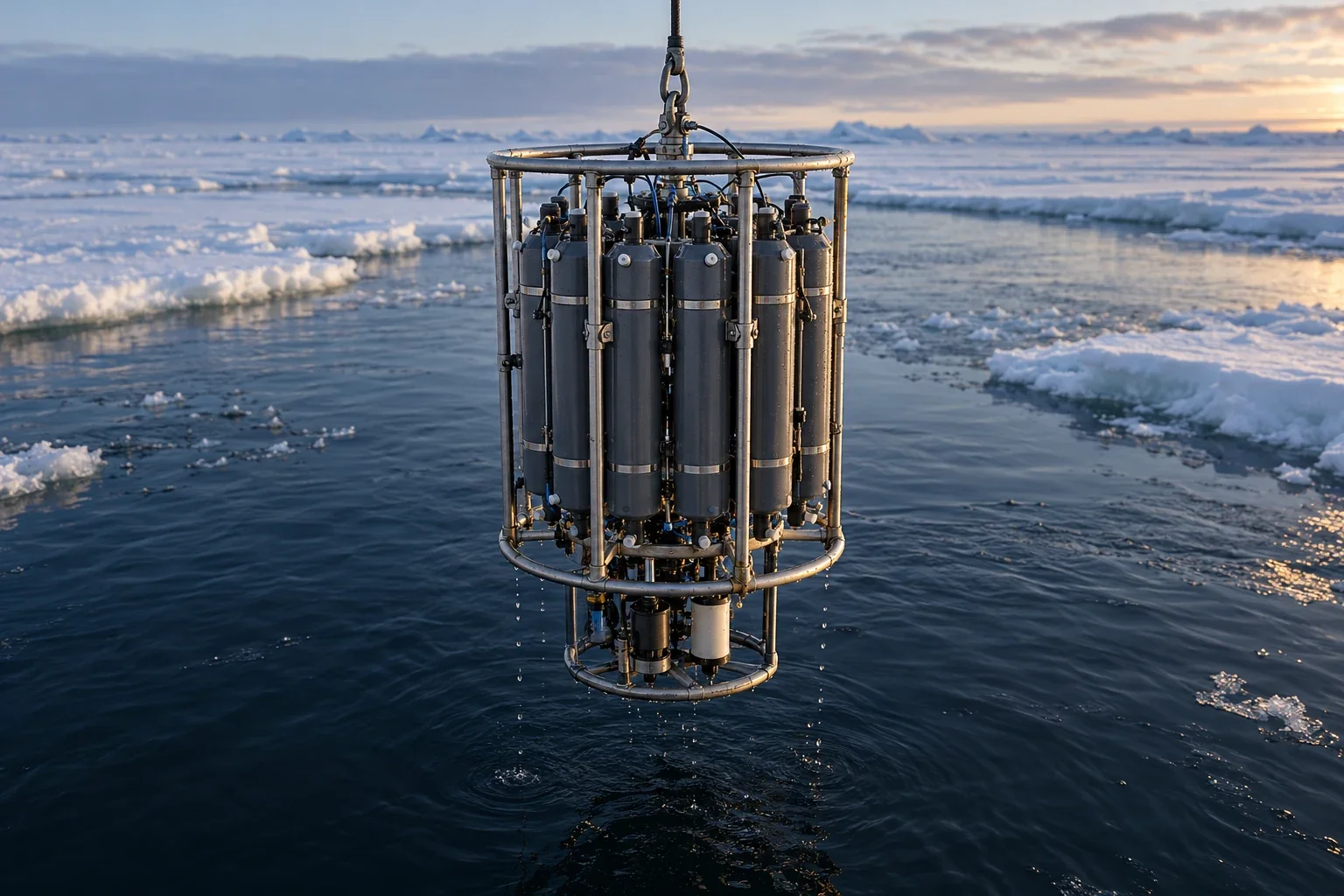
The warmth beneath the Arctic surface
Atlantic-origin warmth can sit below cold surface water. Density layers, currents, and mixing determine when stored ocean heat becomes heat delivered to sea ice.
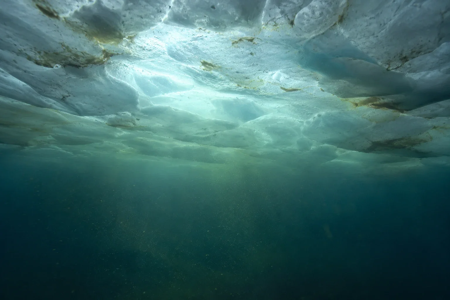
The bloom can begin before open water
Under-ice blooms complicate the seasonal calendar. Light transmission, nutrients, consumer timing, and satellite blind spots explain why open water is not the food web's starting gun.
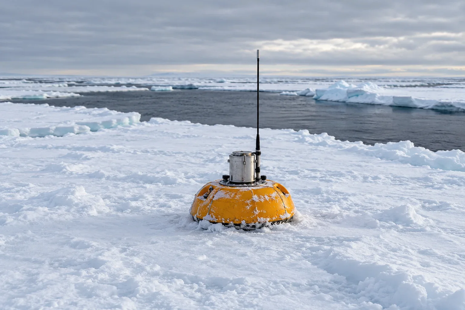
A drifting instrument is not a fixed station
A rising temperature line may record movement through a water-mass boundary. Following position, depth, and salinity helps distinguish spatial structure from change through time.
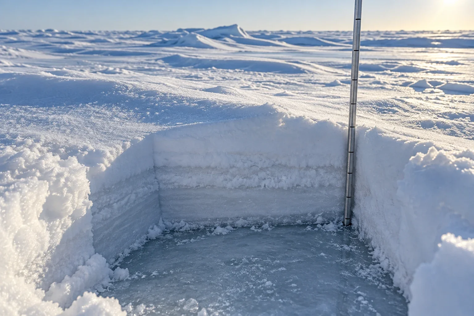
Snow on sea ice has two seasons
Why a snow blanket can slow winter ice growth yet delay spring melt, and why depth, density, timing, and wind redistribution belong in the comparison.
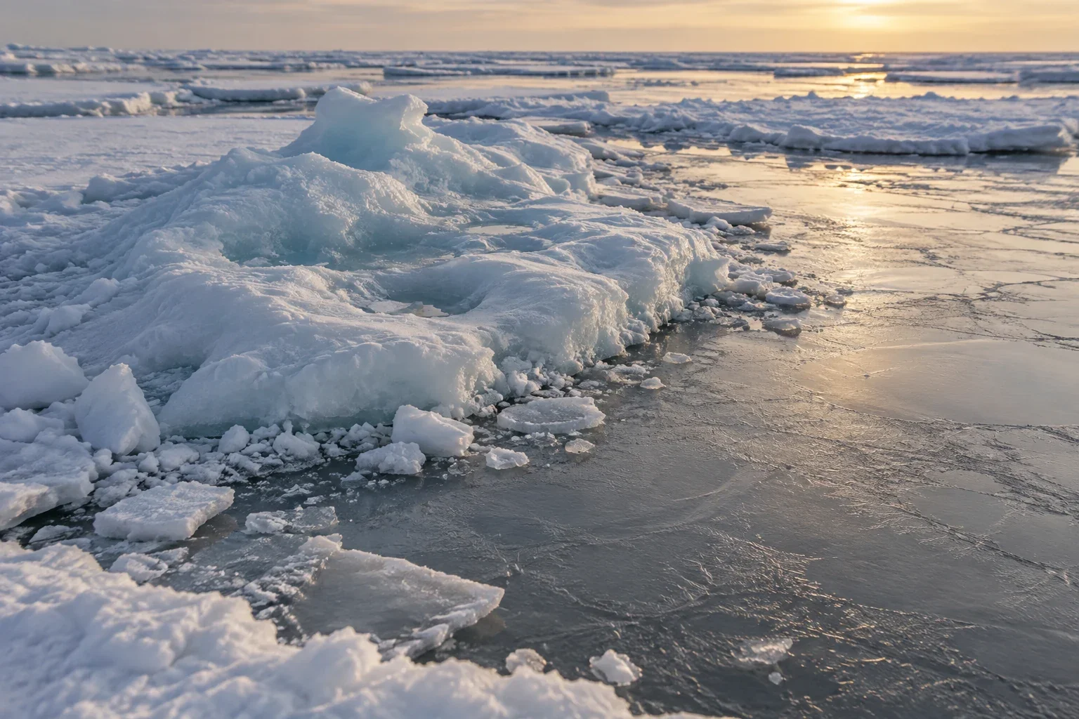
How old is that sea ice?
Ice-age colours track survival and movement, not every floe's thickness. Learn what the oldest category in a grid cell reveals, conceals, and cannot promise.
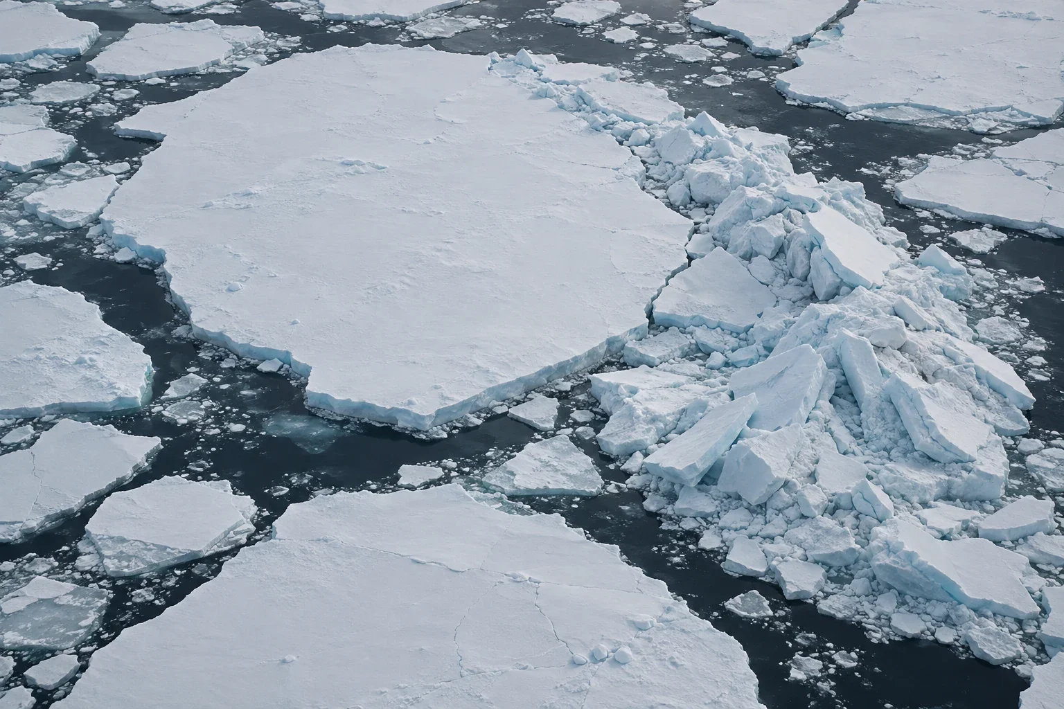
Extent and volume tell different ice stories
A worked example separates extent, area, and volume, then shows why wind, thickness estimates, seasonal timing, and model uncertainty can make ice graphs tell different stories.
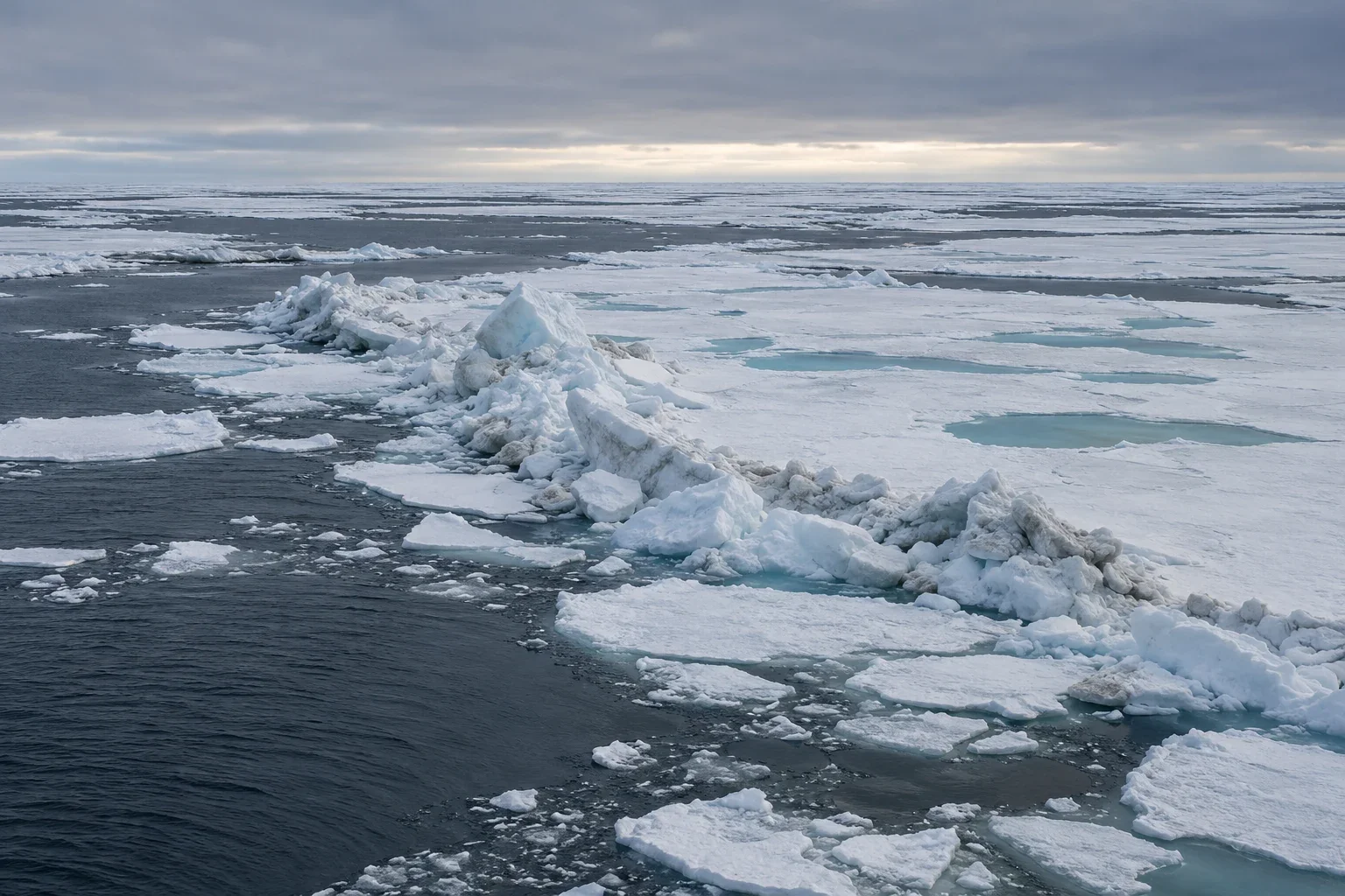
At the ice edge north of Svalbard
A careful reading of melt ponds, pressure ridges, kittiwakes, wildlife distance, and younger sea ice.
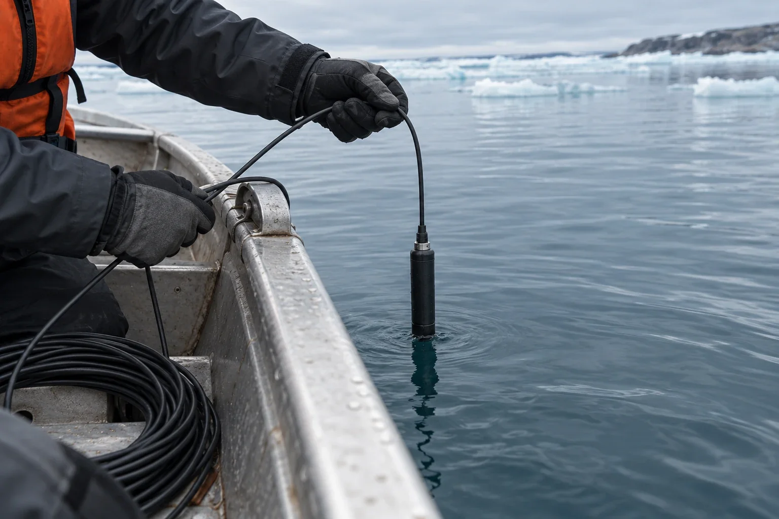
Listening for narwhals in Baffin Bay
What a hydrophone can record about narwhal calls, vessel noise, and uncertainty in a changing soundscape.
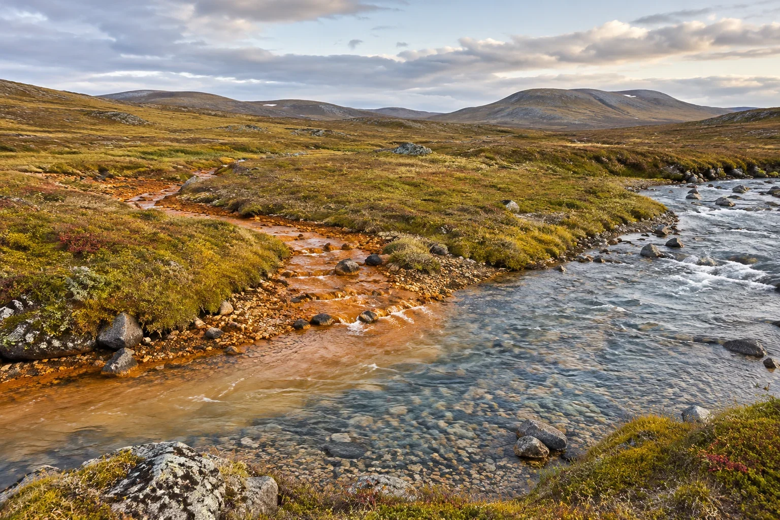
When an Arctic river turns orange
Thaw, mineral exposure, changing river chemistry, and the limits of sparse water-quality monitoring.
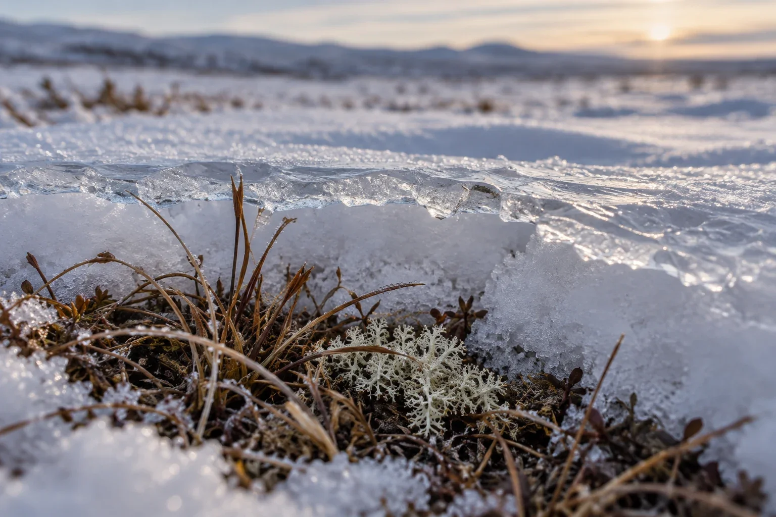
Rain on snow across the tundra
How ice crust can affect winter forage, why community observation matters, and why one event is not a trend.