

Calibrating soil-moisture probes for organic tundra horizons
Dielectric soil-moisture probes convert a material-dependent electrical response into a water-content estimate. This methods note synthesises organic-soil calibration experiments, freeze–thaw dielectric research, and uncertainty guidance to examine transfer from mineral to organic horizons. A fictional core calculation separates gravimetric and volumetric content and shows how drying shrinkage can alter the reference value before a sensor equation is fitted. The discussion considers calibration domains, independent validation, sensing support, saturation, installation, raw-output preservation, and the difference between liquid-water response and total water during freezing. It recommends no universal equation, drying procedure, or ecological threshold. The practical implication is to match calibration and phase-state interpretation to the intended inference, and to report a narrower relative signal when absolute water content remains insufficiently constrained.
Choosing a reference catchment for the flow that matters
A neighbouring catchment is not automatically a credible hydrological reference. This evidence review synthesises paired-catchment research, reference-by-reference diagnostics, and evidence on catchment-dependent water-balance performance. It argues that selection should begin with the response variable and timescale, distinguishing annual yield, summer low flow, and snowmelt timing. A fictional calibration shows how a reference-gauge change can inflate an apparent target effect even when target observations remain unchanged. The review separates calibration representativeness from later stability and considers multiple references, meaningful temporal validation, extrapolation, stewardship, and monitoring history. It performs no site selection and claims no disturbance effect. Its practical implication is to state exactly which behaviour a reference predicts and how that relationship will be tested, rather than treating proximity or a high overall correlation as sufficient evidence.
Converting glacier mass change without changing the claim
Glacier change can be expressed per unit area, as total mass, or as a global mean sea-level equivalent, but these quantities support different comparisons. This methods note synthesises the IACS mass-balance glossary, World Glacier Monitoring Service reporting, and NASA sea-level explanations. Fictional glacier calculations demonstrate how rankings reverse between specific and total loss, how sign conventions change between glacier and ocean accounts, and how area uncertainty affects a conversion. The discussion separates rates from cumulative change, water equivalent from surface lowering, and global accounting from local relative sea level. It supplies no original ice-budget estimate or attribution. Its practical result is a reporting sequence that retains dates, area convention, boundary, original units, and uncertainty so a useful translation does not silently become a different scientific claim.
Designing event sampling for annual suspended-sediment load
Monthly sediment sampling can span an entire year while missing its dominant transport events. This methods note uses US Geological Survey estimation guidance and an empirical river investigation to examine the design of annual suspended-load monitoring. A fictional year demonstrates how two event days can dominate the total and why continuous discharge alone cannot recover their unmeasured concentrations. The discussion considers event limbs, routine and triggered samples, cross-section representativeness, turbidity calibration, sensor failures, and validation that withholds whole events. It distinguishes model intervals from uncertainty caused by unobserved conditions and changing sediment sources. No actual river load or Arctic conversion factor is estimated. The practical recommendation is a coverage account tied to the annual result, allowing subsequent sampling to address the largest demonstrated blind spots rather than simply filling the calendar.
Designing an area-weighted tundra snow survey
Accurate snow cores do not guarantee an area-representative catchment estimate. This methods note synthesises snow-sampling evidence, Arctic snow reporting, and uncertainty principles to examine stratification and area weighting for tundra snow water equivalent. A fictional three-stratum catchment demonstrates how equal sample allocation can overrepresent deep drifts, while a small drift area can still contribute substantially to stored water. The note distinguishes weighting from representative selection and follows sampling, map-area, spatial-dependence, and survey-timing uncertainties. It considers how the next sample can improve the target estimate rather than merely enlarge a convenient route. No operational travel advice or real snow assessment is provided. The proposed reporting account includes terrain shares, class means, selection design, missing coverage, and the date represented, without treating storage as a runoff forecast.
What an unclosed catchment water budget can tell us
An imbalance in a catchment water budget does not identify a missing pathway, and exact closure does not validate every component. This evidence review synthesises two multi-basin closure studies and measurement-uncertainty guidance to develop a diagnostic approach for northern catchments. It examines boundary definitions, compatible units and periods, snow carryover, storage, and dependence between products. A fictional annual account shows why a residual can be small relative to combined uncertainty and why replacing an independent evapotranspiration estimate with a remainder is not validation. Seasonal residual patterns and targeted independent observations are considered as ways to discriminate explanations. The review supplies no universal closure threshold and performs no local assessment. Its conclusion is that retaining the residual and component histories makes a budget more informative than forcing an apparently complete account.
When dissolved-carbon concentration and export diverge
Dissolved organic carbon concentration and annual river export can move in opposite directions because transport depends on water volume and the timing of chemistry. This methods note combines published Arctic river sampling evidence, load-estimation guidance, and uncertainty principles. It defines the dissolved fraction and river-section boundary, explains concentration–discharge covariance, and distinguishes sampled, time-weighted, and flow-weighted summaries. Fictional calculations demonstrate both the bias from multiplying separate means and a year with declining concentration but increasing export. The note examines seasonal coverage, station alignment, calibration limits, and correlated prediction errors. It does not estimate Arctic carbon emissions or identify the age and fate of exported carbon. Its practical implication is to publish water volume, carbon mass, sampling support, and reconstruction assumptions together before interpreting an annual change.
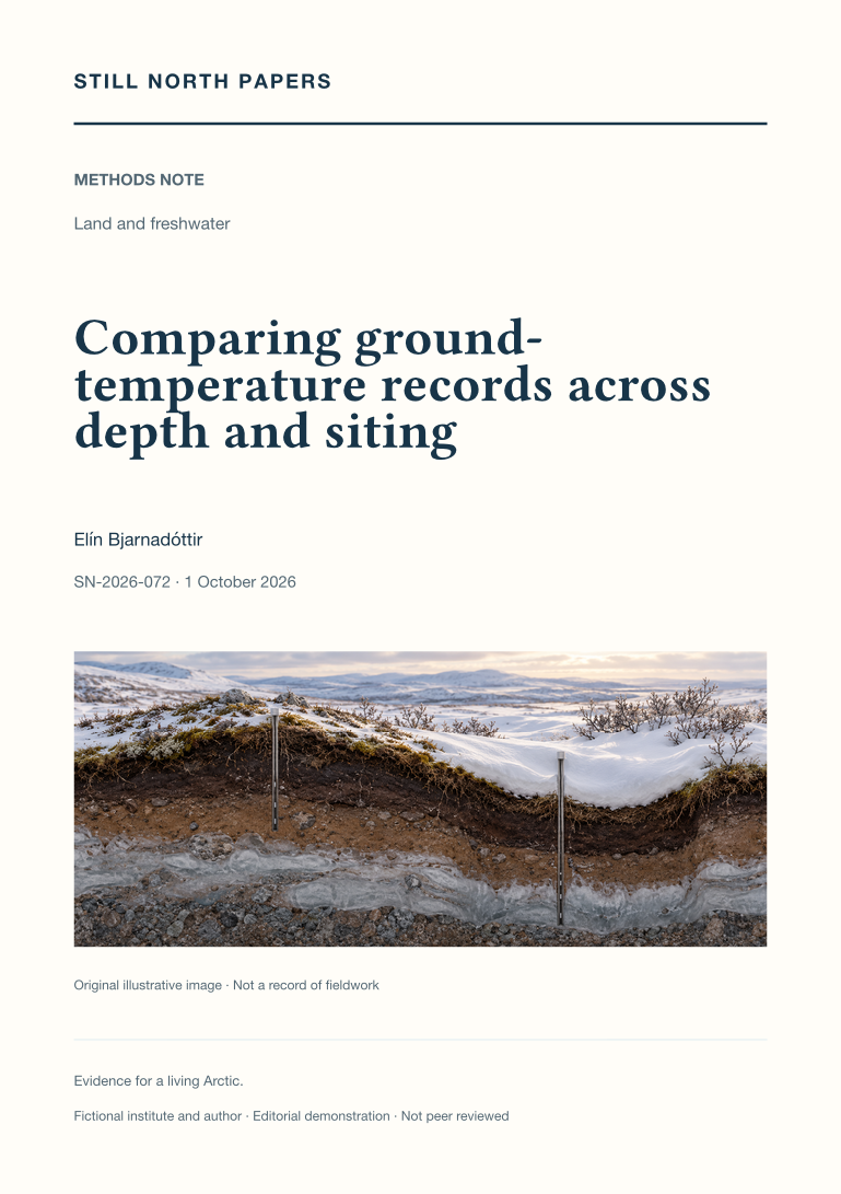
Comparing ground-temperature records across depth and siting
Ground-temperature records can acquire apparent changes when sensors move, depths change, or surface conditions differ. This methods note synthesises a documented Arctic borehole dataset, permafrost-network metadata, and measurement-uncertainty guidance to examine when records are comparable. It distinguishes instrumental transfer from relocation between environments and explains why depth changes both seasonal sensitivity and response time. Fictional worked cases show how joining two individually valid records can introduce a step, and how depth uncertainty enters a temperature budget. The note recommends preserving comparable record segments, overlap evidence, and adjustment assumptions rather than forcing visual continuity. It estimates no regional trend and provides no universal depth correction or minimum overlap. Its contribution is a practical framework for keeping continuity of meaning visible when an observing system changes.
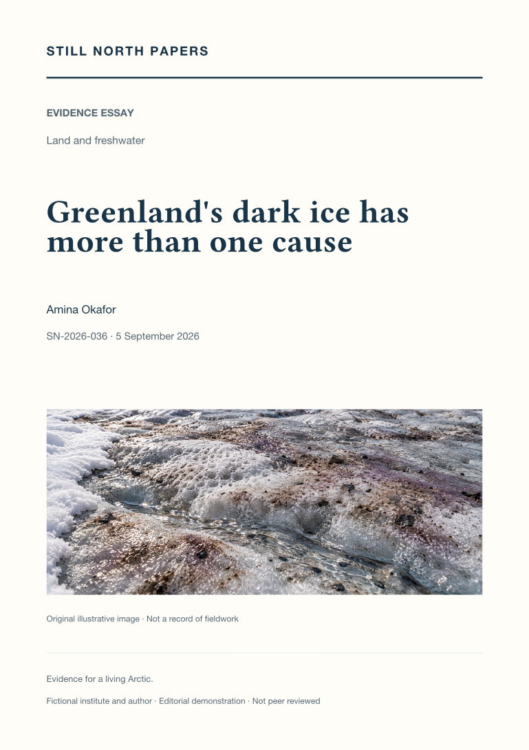
Greenland's dark ice has more than one cause
Dark Greenland ice can reflect snow retreat, light-absorbing material, glacier algae, water, and changing surface texture. This essay separates observed colour, attribution of reflectivity changes, and consequences for melt. NOAA's Greenland assessment provides seasonal context, while a western Greenland study illustrates how biological sampling, radiation measurements, and aerial observations constrain the contribution of algae alongside the physical weathering crust. Neither source makes every dark patch biologically equivalent. The discussion explains why a satellite pixel can miss small algal patches and why a selected ground measurement may not represent the wider footprint. Its central implication is methodological: compatible scales, timing, and illumination are needed before linking surface appearance to mechanisms or melt, and local findings cannot be expanded into an ice-sheet-wide total without further evidence.
A permafrost map cannot inspect a building plot
Regional permafrost maps provide context, not inspections of individual building plots. This essay reads the Circum-Arctic Map of Permafrost and Ground-Ice Conditions to separate mapped extent classes from parcel-level probabilities and ground-ice abundance from the thermal definition of permafrost. It explains why zooming, resampling, or displaying sharper boundaries cannot add evidence absent from the original map. Production scale, historical observations, release dates, and the meanings of blank areas all constrain interpretation. Local snow, surface conditions, and materials further limit direct transfer from a regional class to a particular site. The practical outcome is a concise reporting approach that names dataset, version, property, scale, methods, and limits. Actual foundation decisions remain dependent on competent site-specific investigation, not a colour selected on screen.
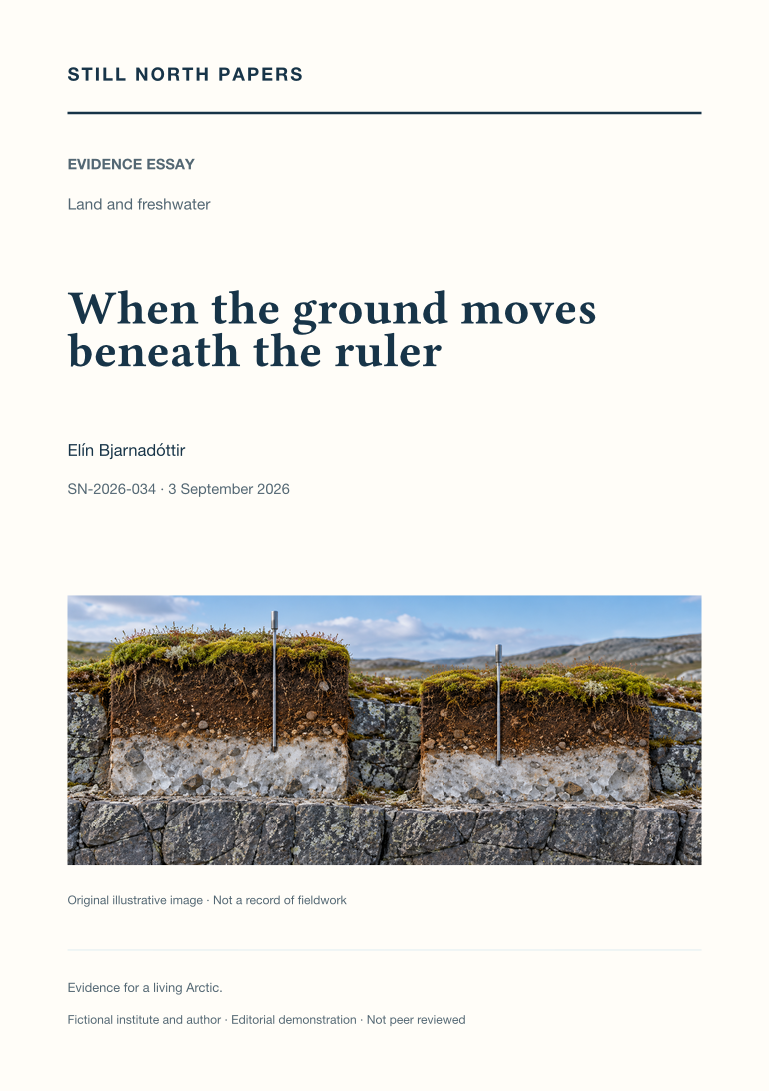
When the ground moves beneath the ruler
An unchanged thaw-depth reading can conceal movement of both the ground surface and the thaw boundary. Through a deliberately simplified example, this essay distinguishes surface-relative depth from elevation measured against an external reference. It draws on active-layer monitoring guidance to discuss marked sampling locations, repeat readings, probe refusal, lower bounds, and the importance of recording seasonal timing. A cited satellite-radar study extends the discussion to spatial observations without equating radar displacement with a thaw probe. Seasonal heave and subsidence must also be separated from persistent settlement before comparisons are interpreted. The essay recommends preserving linked records of depth, surface movement, point identity, reference conventions, and method changes, while making clear that no particular site's subsidence is established by the explanation.
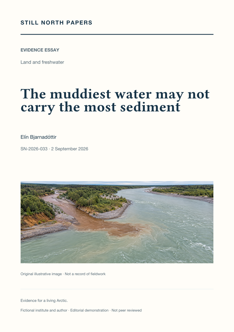
The muddiest water may not carry the most sediment
Muddy appearance describes neither the full quantity of sediment transported nor its ecological consequences. This essay distinguishes suspended-sediment concentration, instantaneous mass flux, and load accumulated over time, using a hypothetical comparison in which the clearer stream transports more material. It examines event timing, changing sediment supply, and differences between rising and falling flows that can undermine a single concentration–discharge relationship. A published USGS river investigation supplies a methodological example, not an Arctic estimate. The discussion also explains why turbidity requires locally supported conversion relationships and why sampling position matters. Its practical recommendation is to retain discharge, sampling time, representative methods, and estimation periods with sediment results, while keeping transport separate from claims about contamination, drinking-water suitability, or ecological damage.
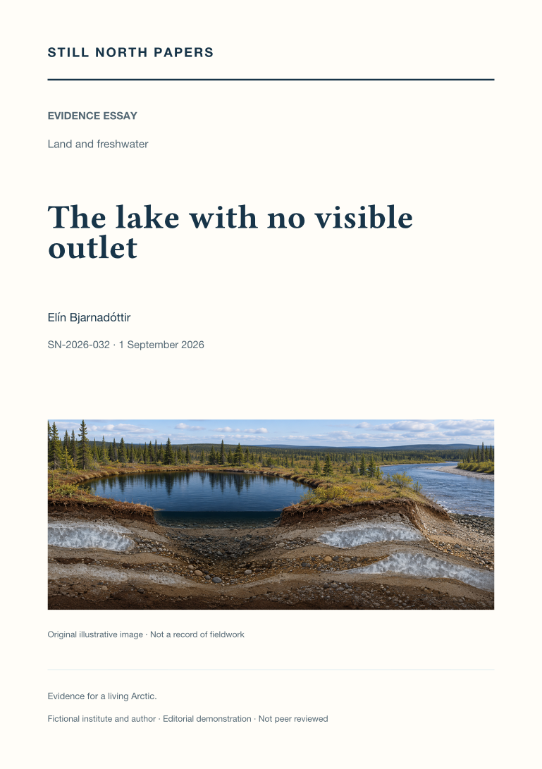
The lake with no visible outlet
A lake without a mapped surface outlet can still exchange water through seasonal floods or subsurface pathways. This essay uses published Yukon Flats research to distinguish observed lake-area change from inferred hydrological connectivity. It explains how permafrost distribution, sediment permeability, and changing water levels influence possible routes, while a shrinking shoreline can reflect several competing changes in the water balance. The account of Twelvemile Lake shows why flood recharge and longer records can alter an interpretation based on isolated images. A hypothetical comparison of neighbouring lakes illustrates the additional evidence needed to separate shared rainfall from direct exchange. The discussion concludes that connectivity must be specified by timing, direction, duration, and purpose rather than treated as a permanent line on a map.
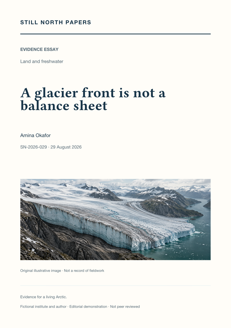
A glacier front is not a balance sheet
A glacier's terminus, velocity, surface height, and total mass are examined as related but non-interchangeable measures. Hypothetical examples show how a nearly stationary front can coexist with upstream thinning, or an advancing tongue with redistribution rather than sustained mass gain. The essay distinguishes surface balance from total balance, retaining refreezing and discharge within the appropriate accounting boundaries. Greenland's published 2025 assessment provides a concrete case of reduced annual loss that remains net loss, with its period and uncertainty intact. Gravimetry, altimetry, and input-output methods are compared by what they measure and omit, including discharge-gate boundaries. Image timing and geolocation also matter to retreat claims. The conclusion matches each question to its measurement instead of making one dramatic front photograph represent the whole ice sheet.
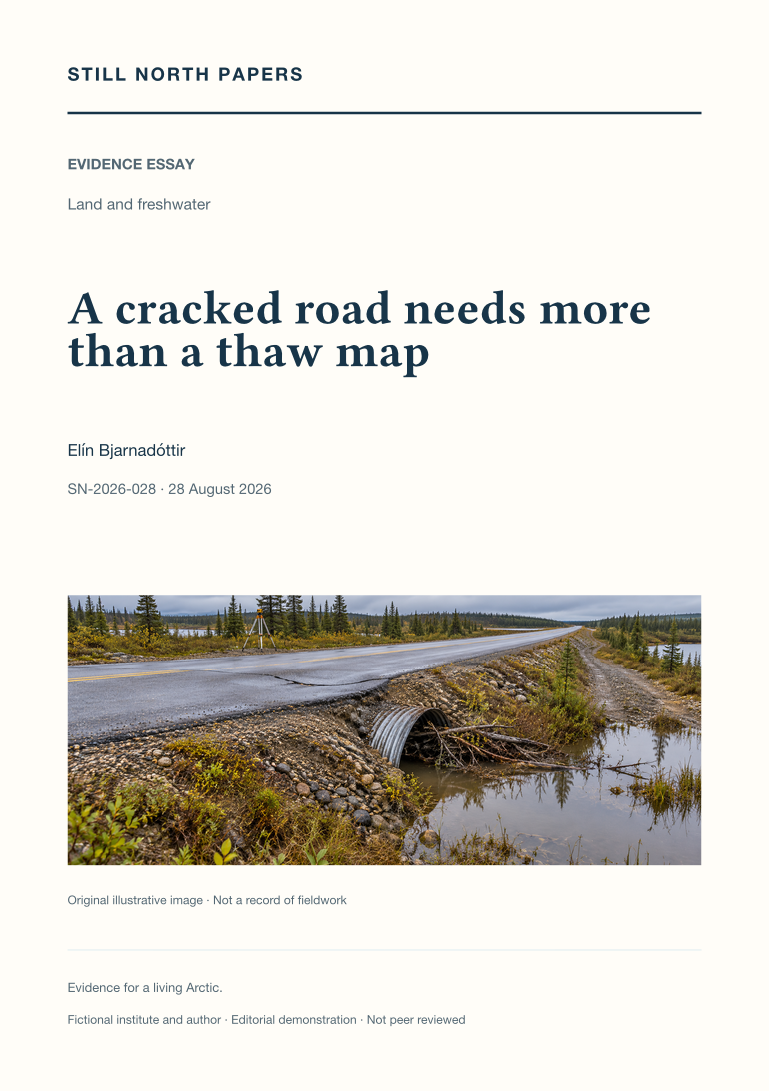
A cracked road needs more than a thaw map
A damaged northern road is approached through the service at risk and the evidence for its failure, rather than diagnosed from a regional thaw map. The essay distinguishes thaw settlement, differential movement, erosion, and slope processes, using public permafrost guidance to explain why ground-ice content matters. A hypothetical blocked culvert introduces interacting drainage and thermal questions without claiming that one maintenance action would resolve them. Temperature sensors, movement surveys, inspections, stable reference points, seasonal timing, and repair history contribute different evidence. Choosing maintenance, redesign, or relocation requires competent site investigation and the authority of affected people, not a photographic prescription. Costs and responsibilities extend beyond installation to warning response, operation, and continued access. The practical implication is to connect material diagnosis with accountable service management.
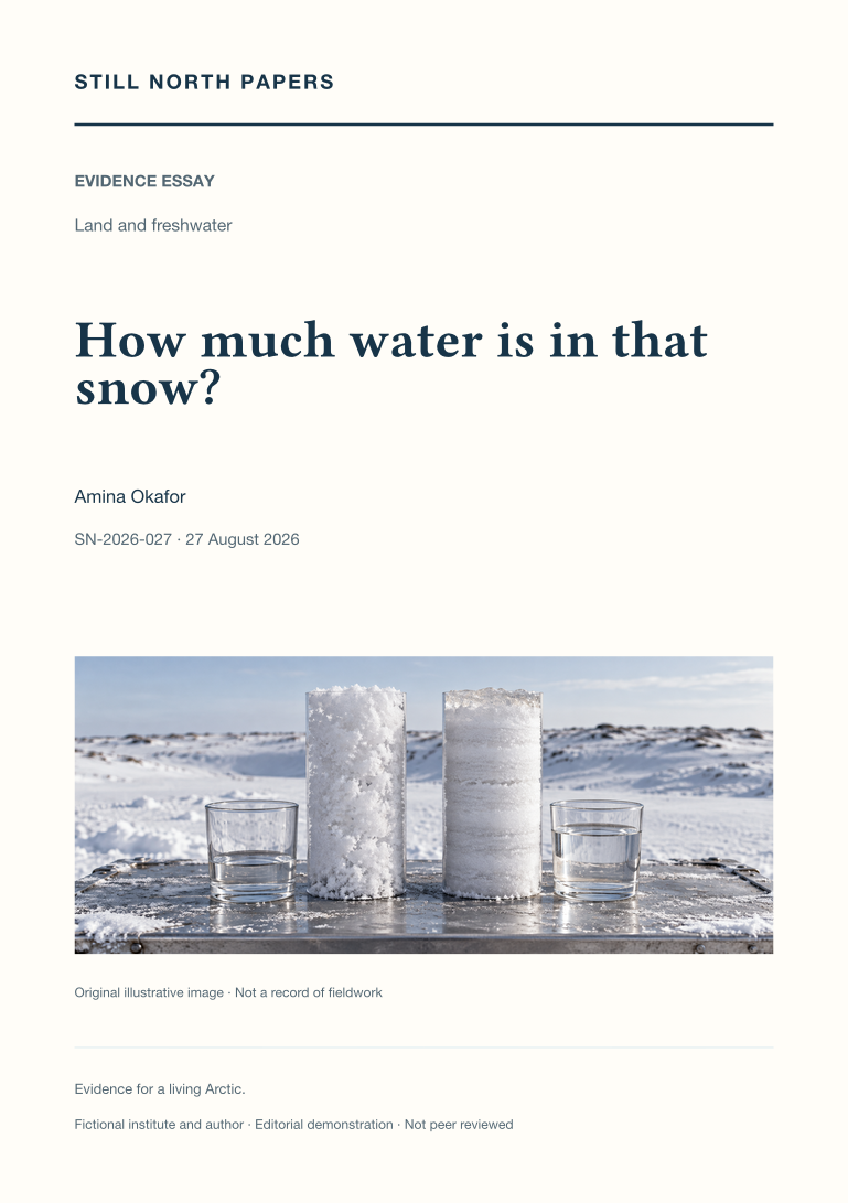
How much water is in that snow?
Snow water equivalent is distinguished from depth, snowfall, cover extent, and season length through two hypothetical snowpacks of equal depth but different density. Their contrasting water stores show why one fixed depth-to-water conversion can mislead. The essay examines settling, redistribution, sampling losses, hard layers, gauge undercatch, and changing regional coverage using the cited NOAA snow assessment and National Weather Service guidance. It contrasts weather-station siting with catchment surveys, where natural drifts, shrubs, hollows, and their area weights may be essential rather than inconvenient outliers. An inaccessible accumulation remains missing, not zero. Finally, stored snow water is separated from a flood forecast because release depends on weather, infiltration, refreezing, and flow paths. A useful summary names the quantity, terrain, date, and decision before comparing winters.
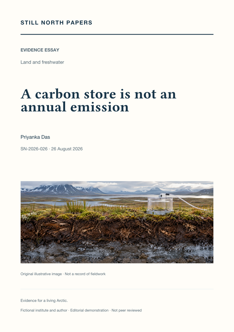
A carbon store is not an annual emission
Northern soil carbon stocks and annual exchanges are separated by units, geography, time, and the direction of transfer. Drawing on NOAA's terrestrial carbon assessment, the essay explains why stored organic matter does not specify when it will thaw, decompose, or reach the atmosphere. Temperature, oxygen, water, methane oxidation, plant uptake, and aquatic transport shape distinct pathways. Summer growth is considered alongside winter respiration and wildfire, allowing a locally observed sink and a regional source to coexist without contradiction when their boundaries differ. Flux towers, chambers, and regional analyses also represent different footprints. The account rejects both immediate release of the whole store and reassurance based on one green season, arguing instead for sustained, year-round observations with explicit budget components and uncertainty.
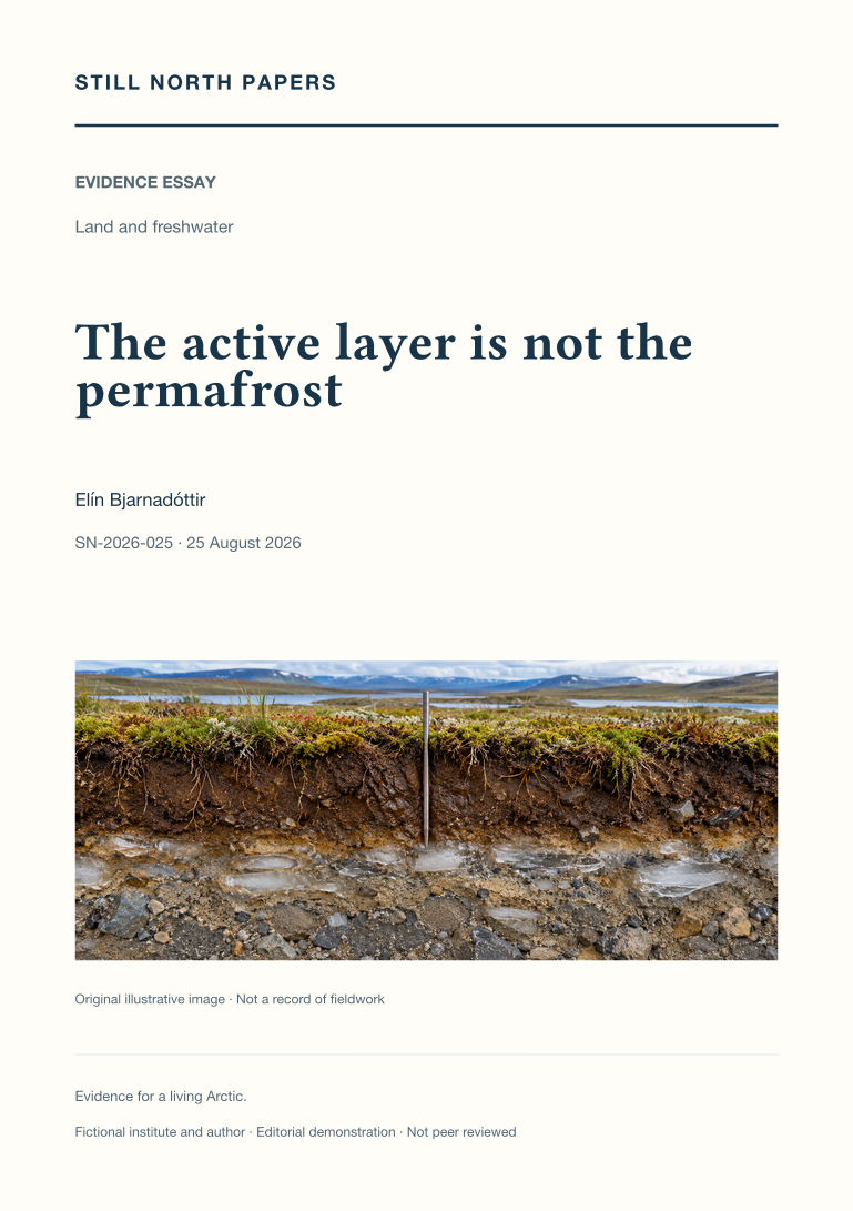
The active layer is not the permafrost
The active layer and permafrost are distinguished by their different seasonal and thermal definitions. This essay explains why thaw depth on one visit is not necessarily annual maximum active-layer thickness, and why neither measurement alone establishes the condition of deeper ground. Hypothetical sites with matching thaw depths but different temperature and ground-ice properties illustrate the limit. NSIDC definitions, the Circumpolar Active Layer Monitoring protocol, and NOAA's carbon assessment support a comparison of probing, frost tubes, and temperature records. Snow, vegetation, moisture, disturbance, and latent heat complicate simple links between air temperature and ground response. The practical reading method asks whether a claim concerns a thaw boundary, warming, ice loss, or permafrost disappearance before matching its depth, date, coverage, and method to a decision.
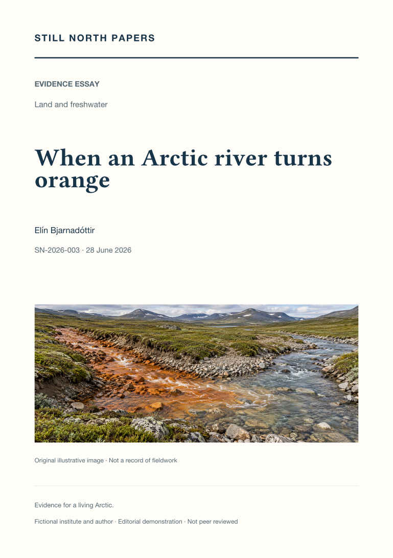
When an Arctic river turns orange
An orange stream is treated as a sampling question rather than a chemical diagnosis. This illustrative field note traces possible connections among permafrost thaw, newly accessible minerals, oxidation, water pathways, acidity, and metals, while retaining geology and seasonal flow as local controls. It uses the published account of rusting Arctic watersheds to explain why a regional pattern should guide, but not predetermine, investigation at one stream. Paired sites, repeated seasons, quality-controlled samples, historical baselines, and transparent detection limits form the proposed chain of evidence. Photographs cannot establish concentrations, and concentrations alone cannot demonstrate ecological harm or suitability for a particular use. The essay also examines reporting bias, sparse monitoring, and community authority over priorities, access, and interpretation.