

What counts as an independent tundra plot?
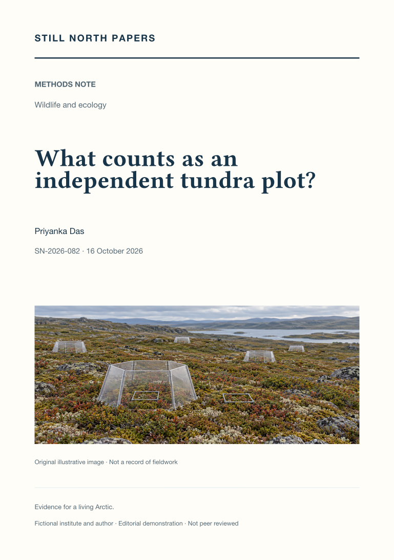
Large numbers of tundra measurements need not provide large numbers of independent treatment tests. This methods note synthesises experimental-design principles, International Tundra Experiment guidance, and clustered spatial-sampling methods. It distinguishes measurement, quadrat, plot, block, and site, and separates spatial autocorrelation from the more fundamental problem of unreplicated treatment assignment. Fictional designs contrast intensive subsampling of one treated patch with replicated paired blocks, showing which level supports the treatment estimate. The discussion considers blocking, environmental side effects, hierarchical analysis, design-respecting resampling, regional generalisation, and the allocation of effort between breadth and detail. It offers no universal spacing or minimum replicate count. Its conclusion is a reporting practice that states sample sizes at each consequential level and matches every inferential claim to the independence the actual design supports.
A midnight-sun tundra plot
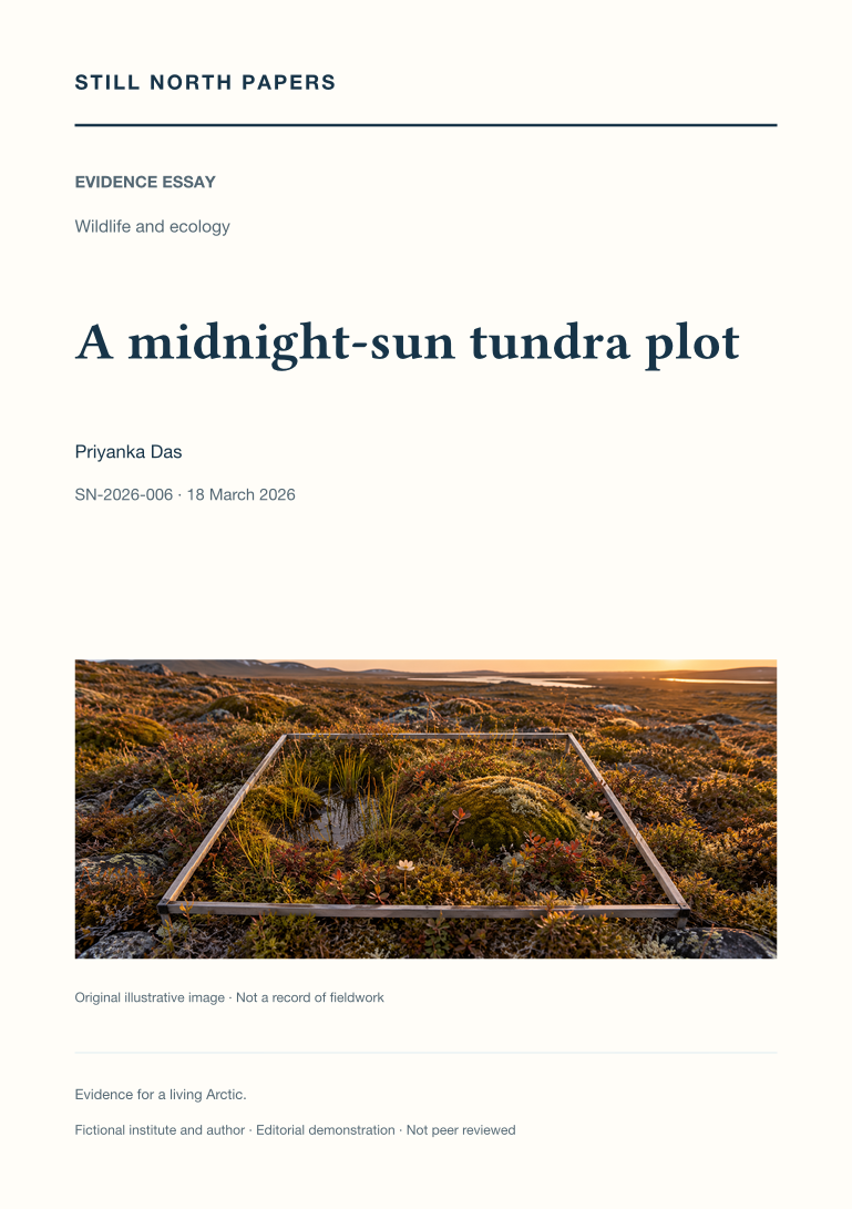
An illustrative tundra monitoring day links the detail inside a small sampling frame with the broader view of satellite greenness. The essay explains how fixed photographs, observer training, access routes, species records, moisture, and disturbance affect comparisons through time. It places the published regional greenness assessment in context without treating a greener signal as proof of ecological improvement or attributing it to fictional plot observations. Plant development, insects, and migratory birds introduce the additional records required to test seasonal mismatch, while timed watches show why a non-detection depends on effort and conditions. The account argues for retaining microtopography, local variation, missing observations, and method changes. Careful repetition and complementary scales, not a tidy image or regional average alone, support ecological interpretation.