

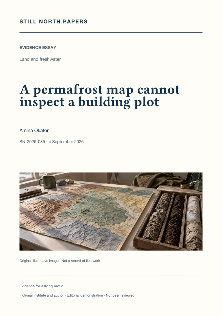
A permafrost map cannot inspect a building plot
Regional permafrost maps provide context, not inspections of individual building plots. This essay reads the Circum-Arctic Map of Permafrost and Ground-Ice Conditions to separate mapped extent classes from parcel-level probabilities and ground-ice abundance from the thermal definition of permafrost. It explains why zooming, resampling, or displaying sharper boundaries cannot add evidence absent from the original map. Production scale, historical observations, release dates, and the meanings of blank areas all constrain interpretation. Local snow, surface conditions, and materials further limit direct transfer from a regional class to a particular site. The practical outcome is a concise reporting approach that names dataset, version, property, scale, methods, and limits. Actual foundation decisions remain dependent on competent site-specific investigation, not a colour selected on screen.
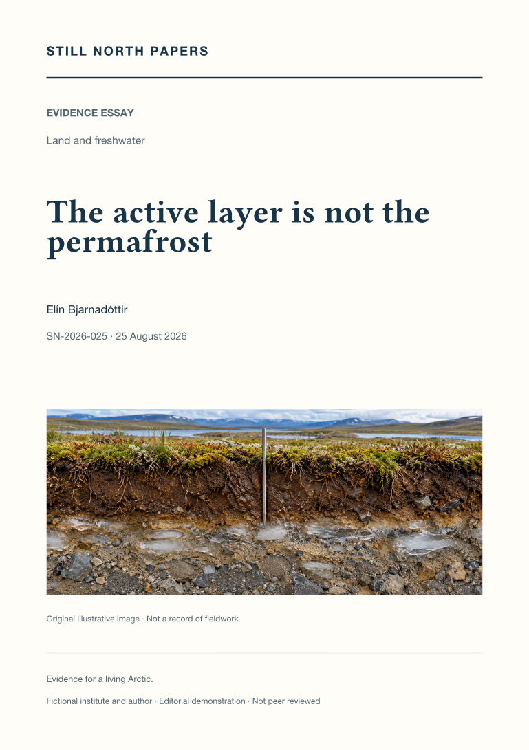
The active layer is not the permafrost
The active layer and permafrost are distinguished by their different seasonal and thermal definitions. This essay explains why thaw depth on one visit is not necessarily annual maximum active-layer thickness, and why neither measurement alone establishes the condition of deeper ground. Hypothetical sites with matching thaw depths but different temperature and ground-ice properties illustrate the limit. NSIDC definitions, the Circumpolar Active Layer Monitoring protocol, and NOAA's carbon assessment support a comparison of probing, frost tubes, and temperature records. Snow, vegetation, moisture, disturbance, and latent heat complicate simple links between air temperature and ground response. The practical reading method asks whether a claim concerns a thaw boundary, warming, ice loss, or permafrost disappearance before matching its depth, date, coverage, and method to a decision.