

The lake with no visible outlet
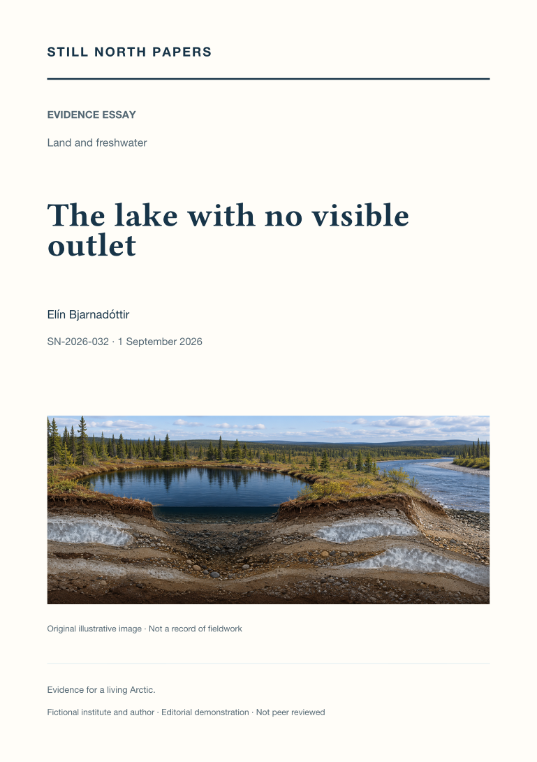
A lake without a mapped surface outlet can still exchange water through seasonal floods or subsurface pathways. This essay uses published Yukon Flats research to distinguish observed lake-area change from inferred hydrological connectivity. It explains how permafrost distribution, sediment permeability, and changing water levels influence possible routes, while a shrinking shoreline can reflect several competing changes in the water balance. The account of Twelvemile Lake shows why flood recharge and longer records can alter an interpretation based on isolated images. A hypothetical comparison of neighbouring lakes illustrates the additional evidence needed to separate shared rainfall from direct exchange. The discussion concludes that connectivity must be specified by timing, direction, duration, and purpose rather than treated as a permanent line on a map.